📷 Click to upload logo
Professional aerial photography, cinematic videography, and critical infrastructure inspection — delivered with unmatched accuracy and speed.
What We Do
From stunning aerials to safety-critical inspections, we bring enterprise-grade drone capability to every engagement.
Full-service drone video production for TV commercials, web ads, and social media campaigns — aerial footage, ground shots, and professional editing all included. Starting at $299 for social media ads, $599 for web/TV commercials.
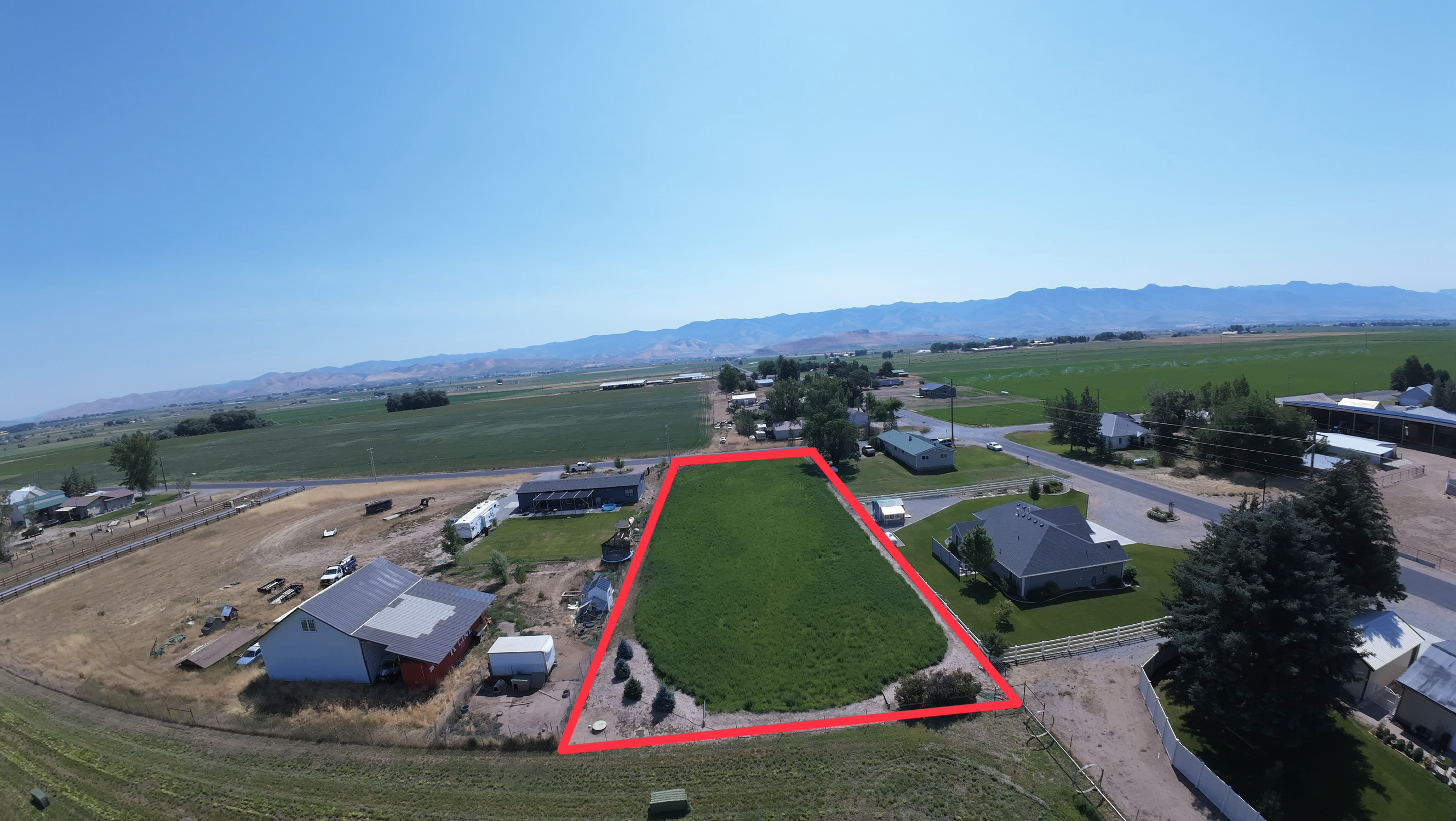
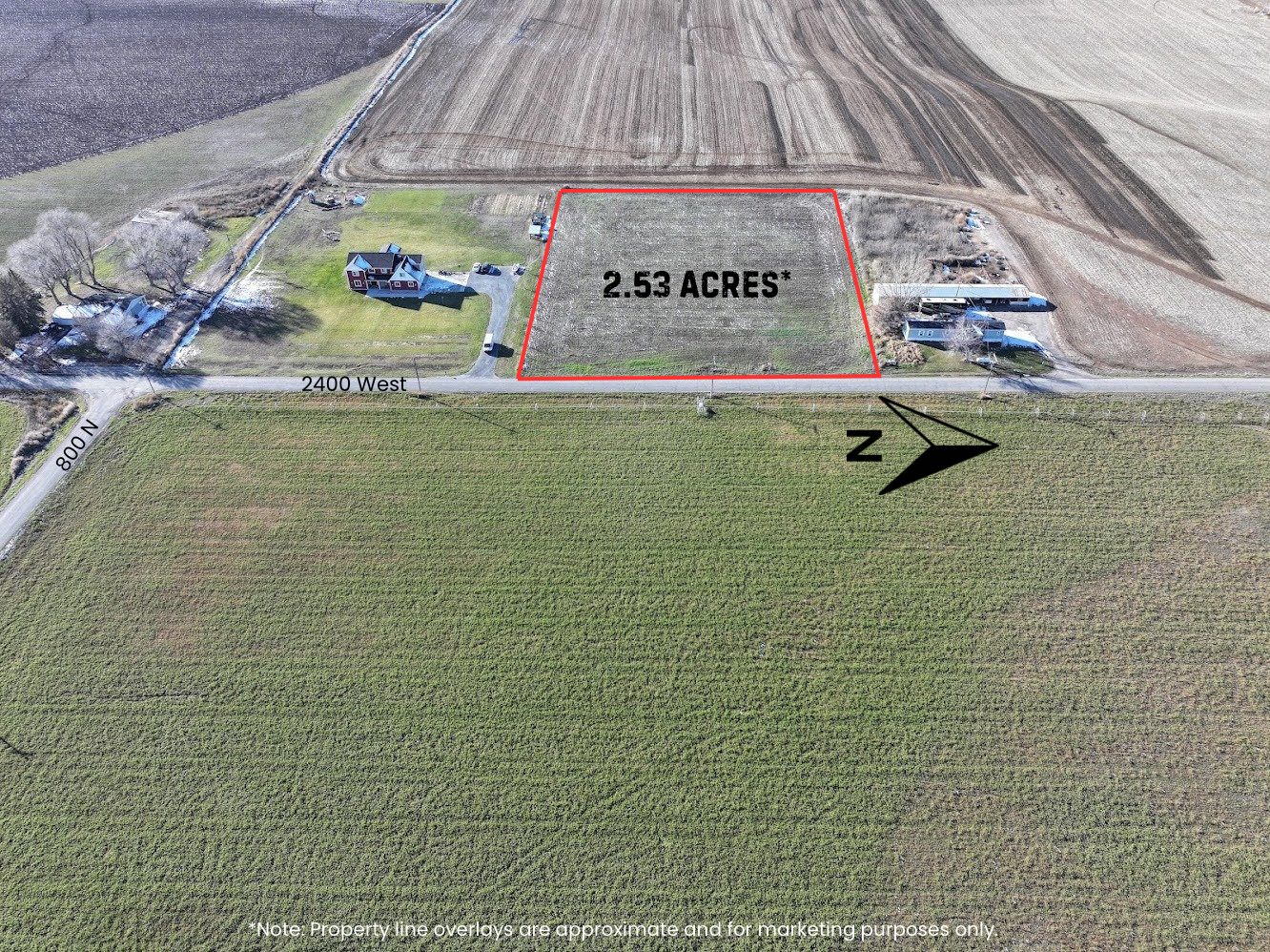
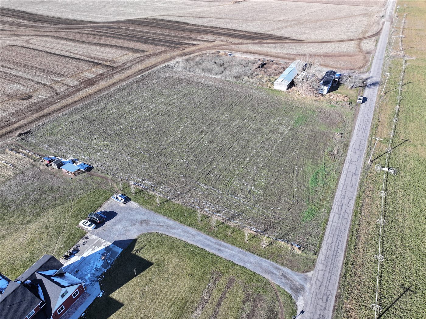
High-resolution aerial overviews for land listings, farms, and rural properties. Boundary outlines, acreage estimates, and MLS-ready delivery in 24–48 hours.
Visual crop surveys, irrigation layout documentation, field boundary mapping, and property overviews for farms and ranches across Cache Valley. Starting at $199.
Aerial photography and video for commercial listings — warehouses, office buildings, retail centers, and industrial properties. Starting at $299 for photos, $499 with video.
Scheduled aerial documentation for builders and developers. Regular overhead shots track site progress, keep stakeholders informed, and protect against disputes. Starting at $199/visit or $599/month.
Cinematic FPV and aerial coverage for weddings, outdoor events, and ceremonies. The DJI Avata 2 delivers immersive footage no standard drone can match. Starting at $299.
Monthly drone photography packages for real estate offices. Photos, aerials, and agent branding videos for your entire team.
High-resolution aerial and ground photos for real estate listings. MLS-ready edited stills with 24–48 hour delivery.
Cinematic 4K ground and drone video for listings and agent branding. Edited for MLS, social media, and the web.
Immersive 3D property tours that let buyers walk through every room online, view the dollhouse floor plan, and measure spaces — all before stepping foot inside. Starting at $199.
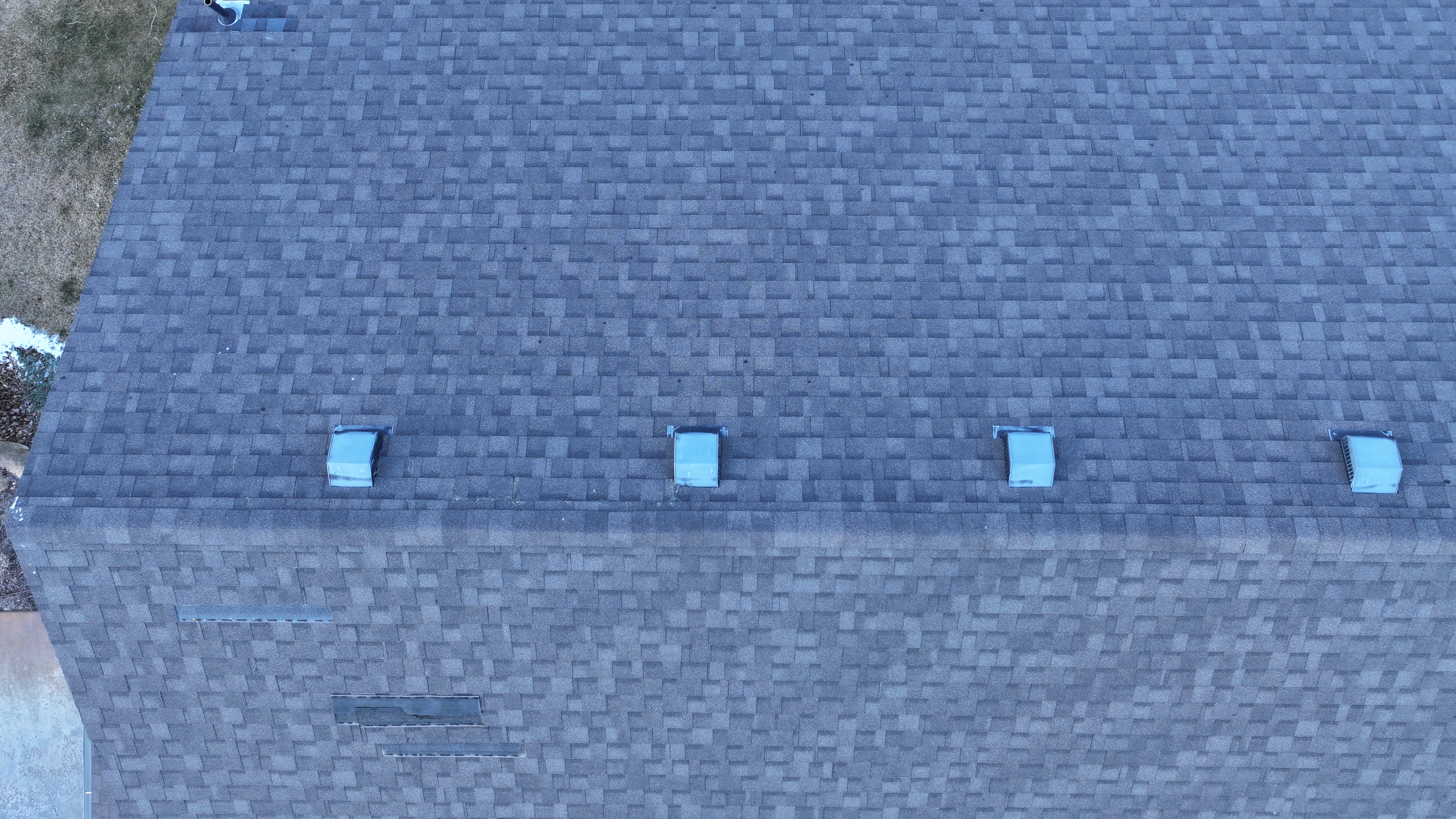
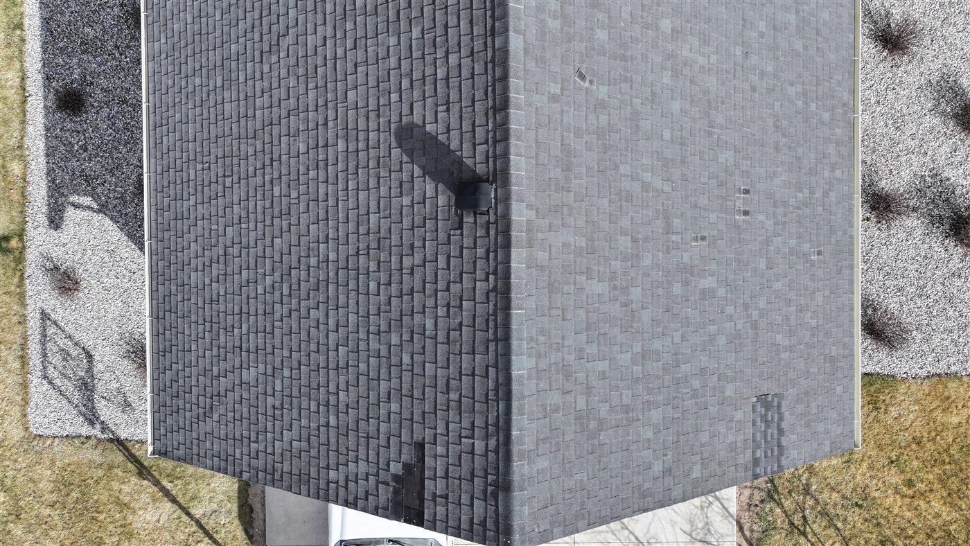
Detailed aerial roof documentation for insurance claims, contractors, and HOAs. Includes photos, measurements, and a digital PDF report.
For Sale By Owner
You're already saving thousands by skipping the agent — a drone shoot is a fraction of that cost and can mean more showings, stronger offers, and a faster close.
Listings with aerial photos get significantly more views on Zillow and Realtor.com. Give buyers a reason to click yours first and keep scrolling through your photos.
Ground photos can't capture your lot size, backyard, acreage, or neighborhood setting. Aerial shots tell the complete story buyers need to take action and schedule a showing.
Book directly with us — no middleman, no runaround. We schedule around you, shoot your property, and deliver your files digitally within 24–48 hours.
Fast turnaround · Flat-rate pricing · No agent needed
Real Estate Pricing
Flat-rate pricing for real estate agents with no hidden fees. First listing is always discounted. For commercial, events, agriculture, and construction — contact us for a custom quote.
Why Wakley Drone
The Process
Fill out our quick form with project details. We respond within 24 hours with a tailored, transparent proposal.
Our team handles airspace authorization, site assessment, and all logistics — you stay focused on your project.
Get professionally edited photos, video, or detailed inspection reports delivered digitally, on schedule.
Our Work
A selection of aerial photography, videography, and inspection projects from across the country.


Watch Our Work
Aerial footage, property showcases, and inspection highlights from across Cache Valley.

Fit Factory Ad
Jul 14, 2026
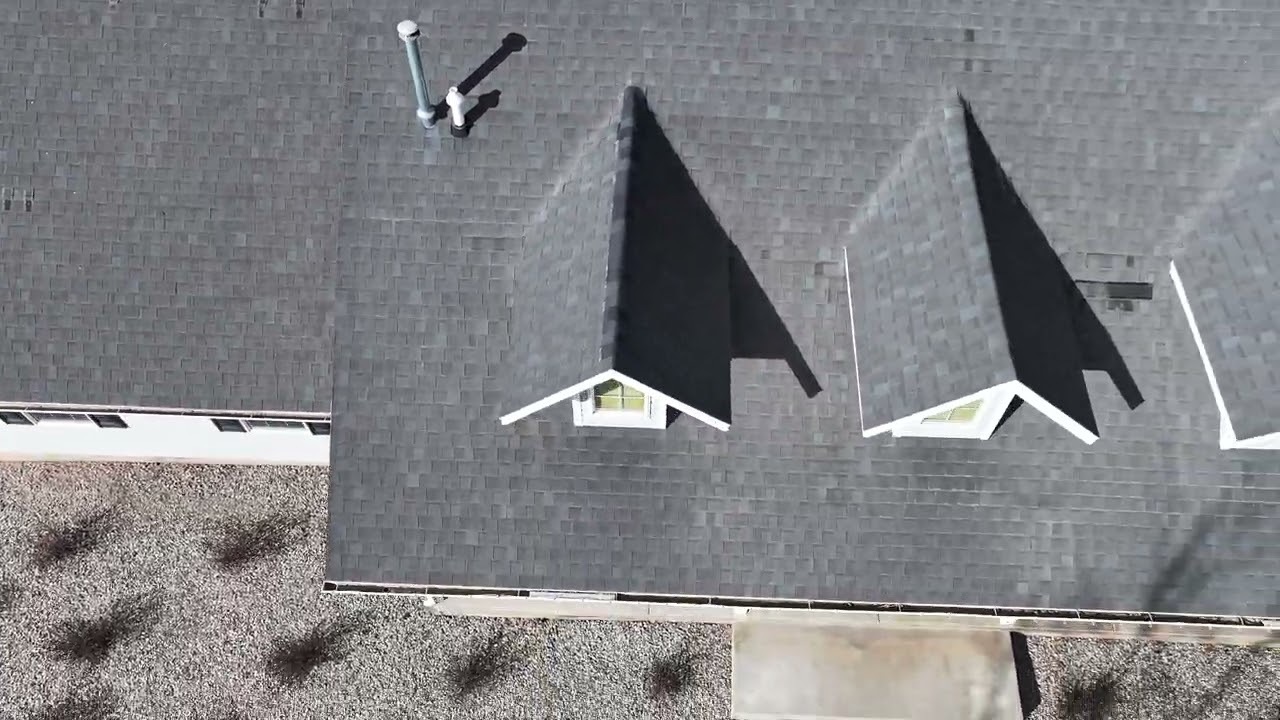
Roof Inspection Example
Jul 14, 2026

Vacant Lot Example
Jul 14, 2026
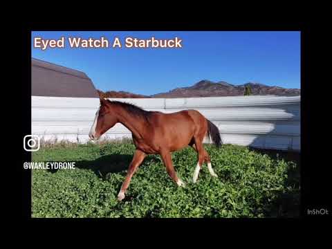
Andrus Livestock Fall Horse Sale 2025
Jul 14, 2026

Social Media Home Listing Example
Jul 14, 2026
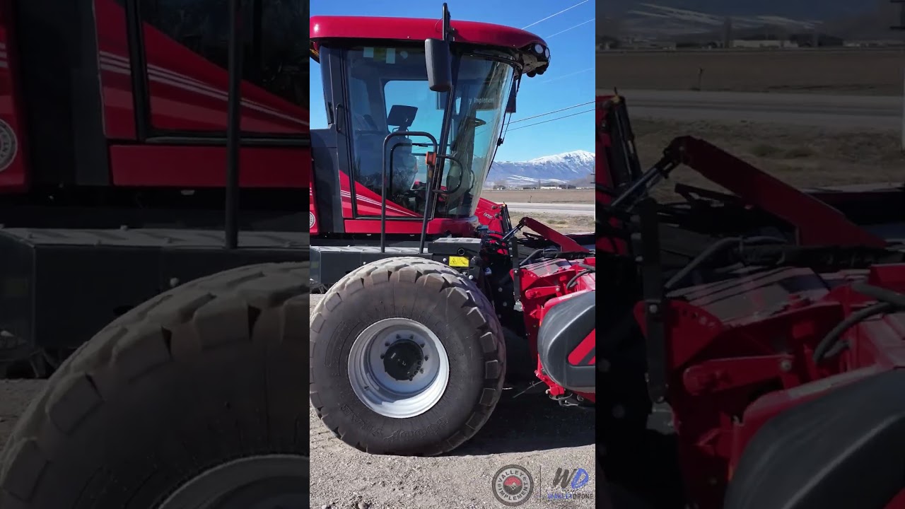
Valley Implement Ad
Jul 14, 2026
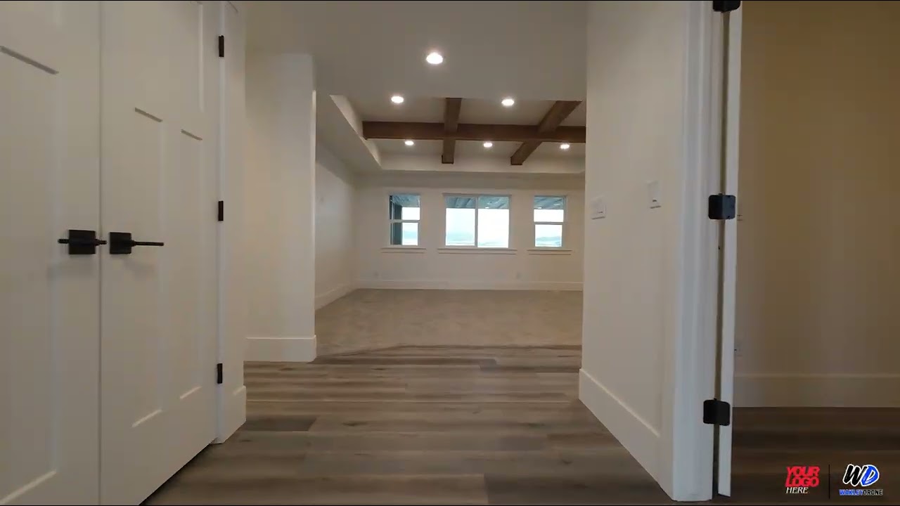
Home Walk Through Example
Jul 14, 2026
Request a Quote for This Service
Get in Touch
Tell us about your project and we'll get back to you within 24 hours with a detailed, no-obligation proposal.
We'll be in touch within 24 hours.